Tuesday, July 20, 2010

Best Motel Sign-Ever


The Cadillac Motel in Niagara Falls.

Lost Parkdale


This map shows the area of South Parkdale that was obliterated in 1956. Lost streets include:
Lorne Ave., Rose Ave., Prospect Ave., Iroquois, Mississagua and Fort Rouille as well as the lower parts of Dowling, Jameson and Dunn.
This arial photo from the late 1950's shows how much of Parkdale was destroyed to make way for the Gardiner Expressway. My Grandparents had a house on Dunn just south of the train tracks that was demolished. Compare with the photo below from 1958 as the Gardiner is being built.
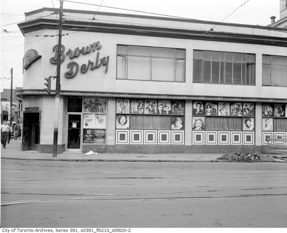
Lower Parkdale in 1958.

Yonge and Dundas/The Brown Derby


A vintage postcard of the long gone Brown Derby from the Chuckman Collection.
The Brown Derby, located on the N/E corner of Yonge and Dundas was open from 1949 until 1974.
The 1960's, Photo by R. Hill

Sometime in the late 1950's

In the 1970's the exterior had a "mod" face lift.
Another good shot from the 1970's. This is by Surfheart.
By the 1980's it's become a Mr. Submarine.
A Brown Derby matchbook from Chuckman's Collection.

Jamestown and Regent Park

This is what Regent Park looked like before the urban renewal of 1950.
This is after. More of a prison than a community.
This photo from the 1970's looks like a scene from the film "Up".
It's a good example of how the city planners managed to get it so wrong.
The old victorian homes of Cabbagetown that were torn down in order to build both Jamestown and Regent Park can never be brought back. If the city had simply allowed the natural progress of time to continue, these neighbourhoods would have re-gentrified
as they did in other parts of the city. The mistakes of urban renewal cannot be undone
and no doubt whatever replaces Regent Park will be as disasterous as the previous incarnation

Map of Toronto 1883

A hand drawn map of the city from 1883.
Click on the image for an enlarged view.